Part 3 - Bryce Canyon National Park
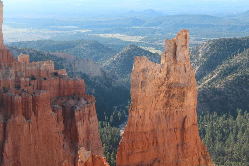
Bryce Canyon is hard to understand without being there. The Paunsaugent Plateau is high and fairly flat (altitude about 7700-9100 feet); its eastern edge is a steep, curved cliff. The roads and buildings of the park are on the plateau, near the cliff. From the cliff edge, looking eastward and downward, you see canyons shaped like amphitheaters, filled with hoodoos and other stone structures.
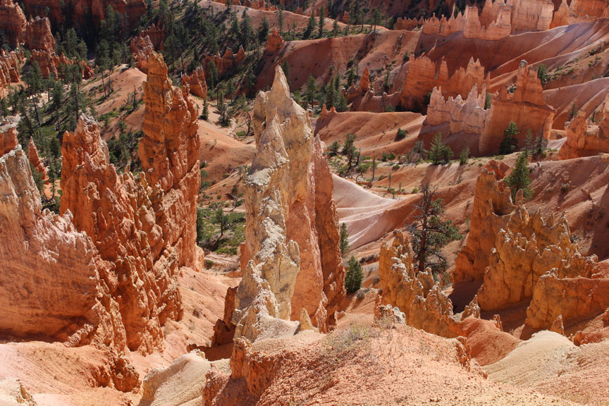
What's a hoodoo, and how is it created?
It starts when erosion carves out a narrow wall, also known as a fin.

Freezing water in cracks creates holes, or windows.

Further erosion separates the columns into spires, or hoodoos.
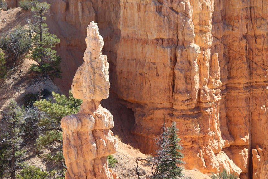
Because different layers of rock erode at different rates, hoodoos are often larger at the top.
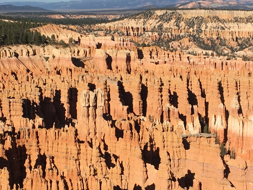
The hoodoos at Bryce Canyon are uncountable.
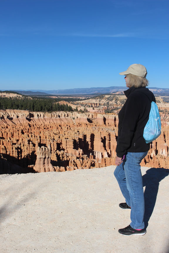
We stood as close to the edge of the cliff as we dared.
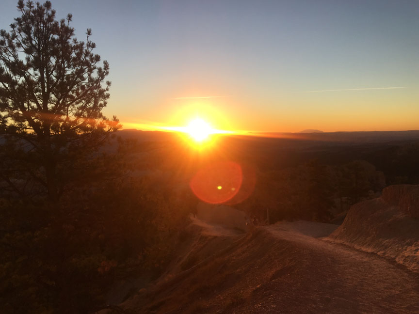
Sunrise as seen from Sunrise Point (in the only cold weather we experienced on the trip).

Hoodoos as they look at sunrise.
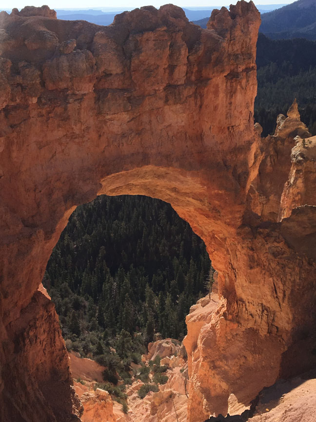
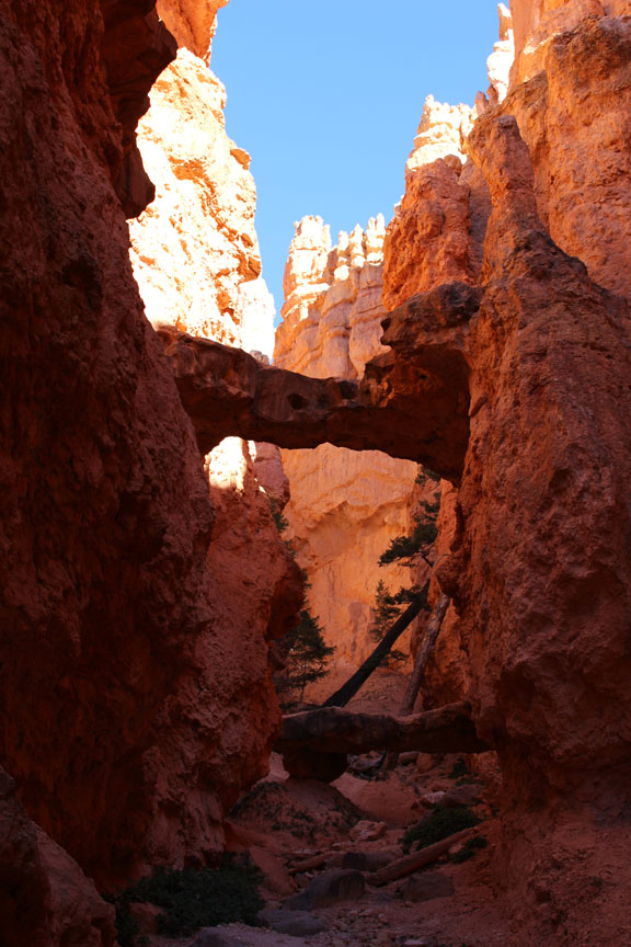
Natural Bridge, along the drive to the south end of the park.
"It's a hell of a place to lose a cow." - Morman pioneer Ebenezer Bryce, for whom the park is named.


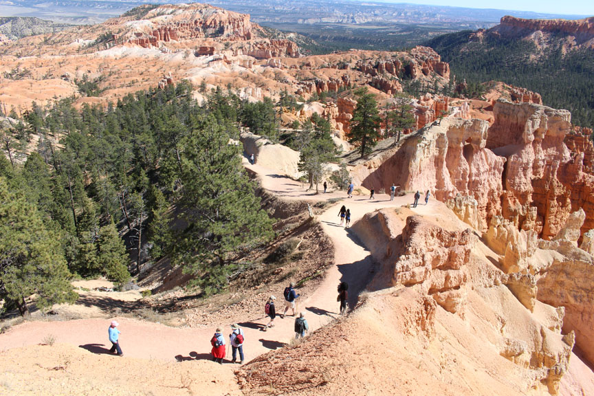

We hiked the Navajo Loop, a 1.3 mile trail with an elevation change of 550 feet. It took us down among the hoodoos.
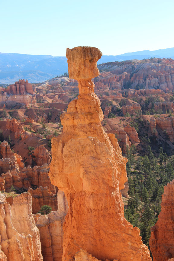
On the hike we passed Thor's Hammer, a famous hoodoo . . .
. . . the Two Bridges, . . .

. . . and the narrow canyon called Wall Street.